Introduction
Drone mapping has transformed the way industries collect and analyze spatial data. Whether for construction, agriculture, surveying, or environmental research, drones provide an efficient and cost-effective alternative to traditional mapping methods. In this guide, we’ll explore how drone mapping works, its benefits, essential tools, and how you can get started.
What is Drone Mapping?
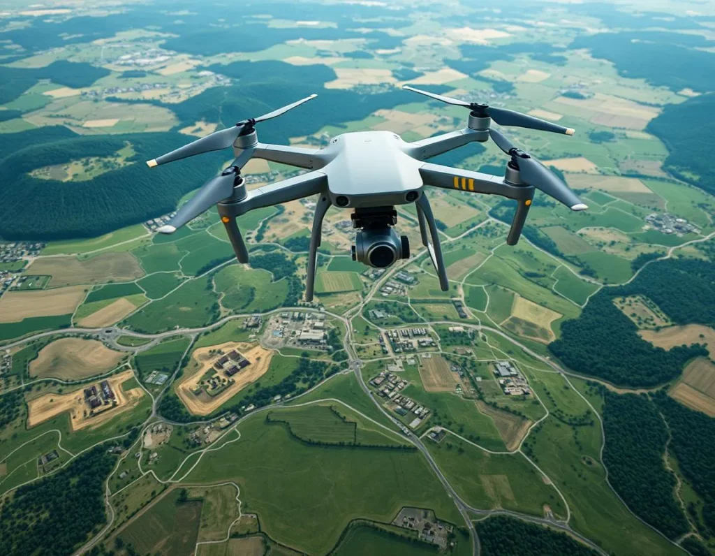
Drone mapping is the process of using UAVs (unmanned aerial vehicles) to capture aerial images and generate high-resolution maps or 3D models. These images are processed with specialized software to create detailed representations of landscapes, structures, and terrains.
Why Use Drone Mapping?
The adoption of drone mapping is growing rapidly due to its numerous advantages:
- Efficiency: Drones can cover vast areas in a fraction of the time compared to ground-based surveying methods.
- Accuracy: Equipped with GPS and advanced imaging sensors, drones provide precise measurements for detailed mapping.
- Cost Savings: Reducing the need for expensive manpower and equipment makes drone mapping a budget-friendly solution.
- Improved Safety: Surveying hazardous or hard-to-reach areas becomes safer with drones, eliminating risks for workers.
How Does Drone Mapping Work?
Drone mapping follows a structured workflow:
- Planning the Flight: Using mapping software, a flight plan is created to ensure complete area coverage with optimal overlap.
- Capturing Images: The drone autonomously flies along the planned route, capturing geotagged images.
- Processing Data: Software such as UAVMapper (https://uavmapper.net), Pix4D, DroneDeploy, or WebODM processes the images into orthomosaics, 3D models, or elevation maps.
- Analyzing and Using the Data: The final outputs are used for surveying, construction planning, agricultural monitoring, and more.
Key Applications of Drone Mapping
Drone mapping is widely used across various industries:
- Construction & Infrastructure: Tracking site progress, conducting inspections, and improving project planning.
- Agriculture: Assessing crop health, optimizing irrigation, and detecting issues before they become severe.
- Environmental Monitoring: Mapping forests, tracking coastal erosion, and monitoring wildlife habitats.
- Surveying & Land Development: Generating topographic maps, assessing property boundaries, and aiding urban planning.
Essential Tools for Drone Mapping
To get started with drone mapping, you’ll need:
- A Reliable Drone: Models like the DJI Phantom 4 RTK or Matrice series are ideal for mapping.
- High-Quality Sensors: RGB cameras, LiDAR sensors, or multispectral cameras depending on your project needs.
- Mapping Software: Platforms like UAVMapper (https://uavmapper.net), Pix4D, WebODM, or DroneDeploy process and analyze aerial data.
- Regulatory Compliance Knowledge: Understanding local drone laws ensures legal operation and compliance.
Challenges and Considerations
Despite its advantages, drone mapping comes with challenges:
- Weather Conditions: Strong winds or rain can affect data accuracy and drone stability.
- Regulatory Restrictions: Different countries have strict drone operation laws that must be followed.
- Data Management: Processing high-resolution images requires powerful computing resources and storage solutions.
Future of Drone Mapping
The future of drone mapping looks promising, with advancements such as AI-powered image analysis, real-time data processing, and improved autonomous flight capabilities. As technology evolves, drone mapping will become even more accessible and valuable across industries.
Conclusion
Drone mapping is revolutionizing data collection and analysis, making it easier, faster, and more affordable. Whether you’re a surveyor, farmer, engineer, or researcher, integrating drones into your workflow can significantly enhance your operations. Start exploring drone mapping today and unlock new possibilities in aerial data analysis!